SHIELDS is a geospatial intelligence system that uses machine learning and computer vision to transform imagery, sensor feeds, and field data into actionable information by detecting, classifying, geolocating, and tracking objects and events across operational environments.
Integrates imagery, video, sensors, geospatial information, and external services.
Uses machine-learning models to identify objects, conditions, and anomalies within incoming data.
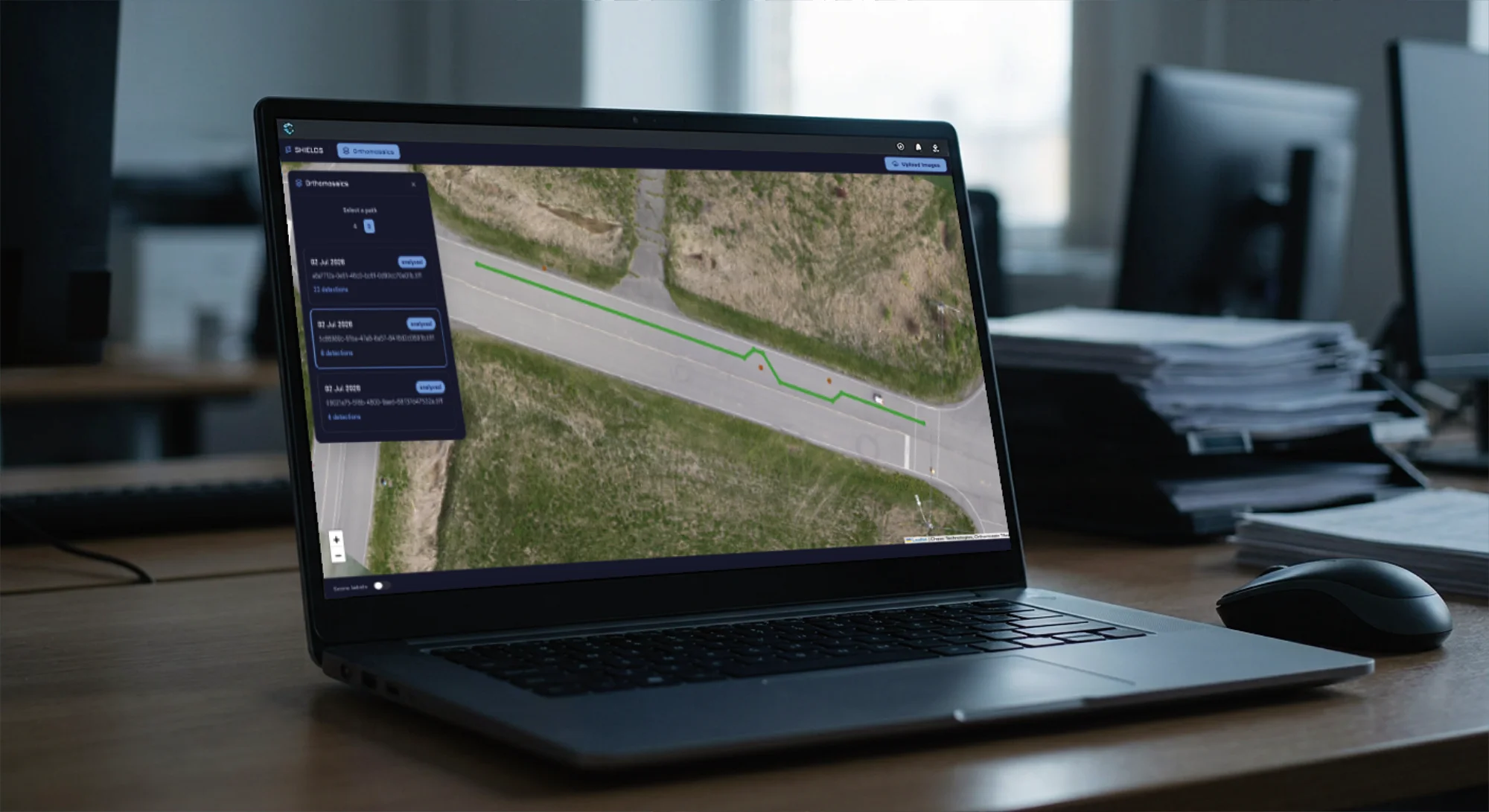
Converts detections into geographically meaningful information that can be displayed and analyzed on a map.
Designed to process thousands of images and hundreds of data streams.
Exchanges operational information with external systems through standard interfaces such as REST APIs and CoT.
Can operate using centralized infrastructure or computing resources deployed closer to sensors and operational environments.
Supports military, defence, and security organizations by detecting, geolocating, and tracking objects or activities of interest across operational areas.
Helps search-and-rescue teams, emergency services, and public-safety organizations rapidly identify people, vehicles, landmarks, or other indicators within large volumes of imagery.
Helps defence, security, and public-safety organizations monitor large areas, detect objects or activities of interest, and maintain situational awareness from aerial imagery and sensor feeds.
Enables emergency-management agencies, environmental organizations, and natural-resource operators to identify and geolocate hazards, environmental conditions, and changes across large geographic areas.
Supports organizations operating in isolated, hazardous, or difficult-to-access environments by providing situational awareness without requiring personnel to continuously access the area directly.
Helps organizations that collect large volumes of aerial, satellite, inspection, or surveillance imagery automate the review process and focus operator attention on relevant detections.